The northernmost stretch in New Jersey, from Boonton to Mahwah, was not completed until 1993, thanks to arguments over property rights and wildlife conservation. Most of I-287 in Bergen County is included in this stretch, although the highway includes about a mile and a half previously designated NJ 208 and overlays the north end of NJ 17.
Only the 10.39-mile portion of the freeway in Bergen County is included here; the mile markers are from the highway's origin in Edison.
| Mile | Street Name | Feature (South to North) |
| 57.15 | Entering Oakland Boro, Bergen Co. | |
 Northbound at the county line. |
||
| 57.53 | Miller Rd {overpass} | |
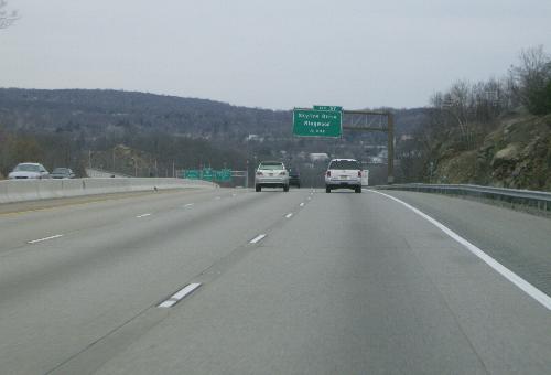
| 58.13 | Skyline Dr / West Oakland Ave |
|
| 58.33 | Ramapo River {bridge} | |
| 58.86 | Ramapo Valley Rd |
|
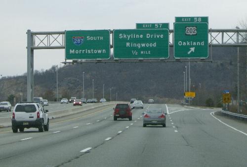 Southbound at the exit for US 202. Ramapo Mountain looms in the near distance. |
||
| 59.08 | Pond Brook {bridge} | |
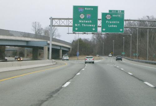 Northbound at the exit for NJ 208. The northbound lanes of NJ 208 cross over here. |
||
| 59.80 | ||
| 59.94 | ||
| 60.32 | Pond Brook {bridge} | |
| 60.62 | Franklin Ave |
|
| 61.70 | Bridle Way {overpass} | |
| 62.01 | Phelps Rd {underpass} | |
| 62.21 | Entering Mahwah Twp | |
| 63.53 | Campgaw Mountain Co. Reservation {underpass} | |
| 63.94 | Campgaw Rd |
|
| 64.43 | Darlington Ave |
|
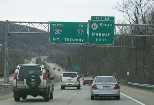 Northbound, a little over a mile shy of the merge with NJ 17. |
||
| 66.05 | Ramapo Valley Rd |
|
| 66.49 | Ramapo River {bridge} | |
| 66.57 | Stag Hill Rd {bridge} | |
| 66.94 | [ |
|
| 67.15 | ||
| 67.15 | Next 0.39 mile co-signed with |
|
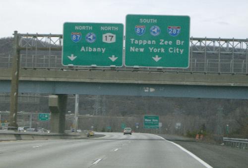 The last overpass in New Jersey, with overhead signage courtesy of either the New York State Department of Transportation or the New York State Thruway Authority. |
||
| 67.52 | U-turn ramp {underpass} | |
| 67.54 | Entering Ramapo Town, Rockland Co. | |